RESEARCH PROJECT:
INTERSECTIONAL GIS MAPPING
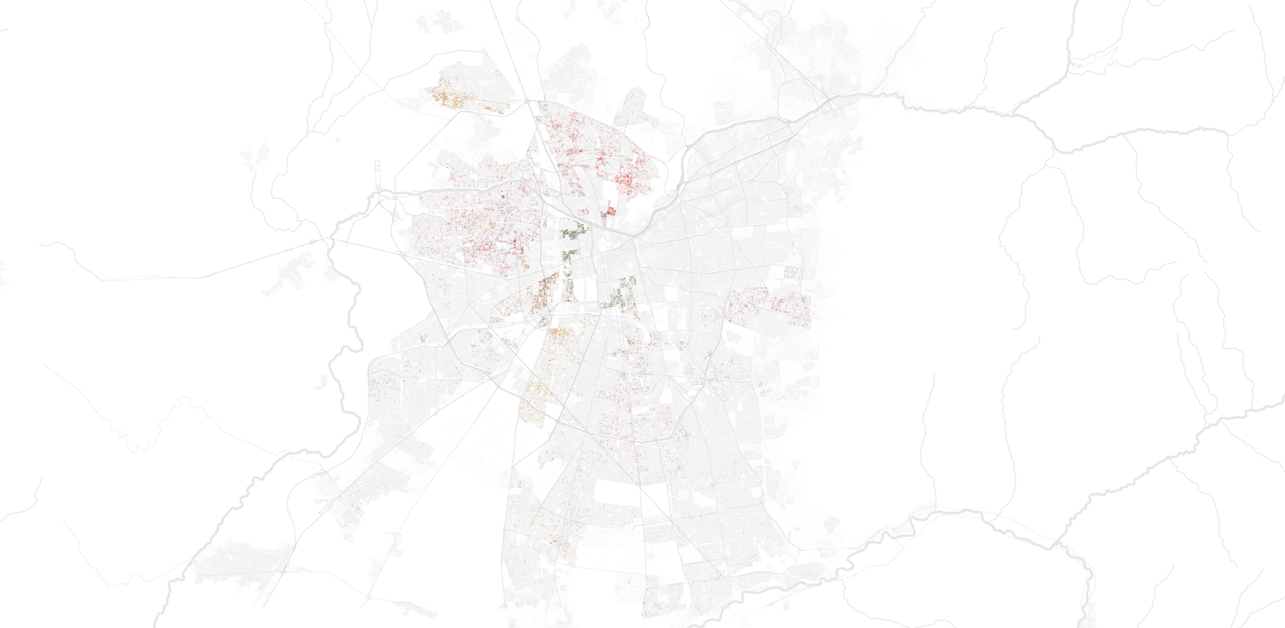
These GIS maps reveal spatial segregation patterns at the city scale that affect the urban experiences of nonhegemonic communities. They do so by mapping demographic distributions and adopting an intersectional framework originally developed by Black feminist scholars. This framework considers multiple and interacting markers of social oppression, such as immigration date, generation and refugee status, nationality, ethnicity, gender, and economic security.
Case-study: Santiago metropolitan area, Chile

Urban Distribution of immigrant populations per nationality, Santiago metropolitan area, Chile. (CC: All rights reserved)
Natalia Escobar Castrillon with Stefano Romagnoli (Region Austral), and Sofía Ugarte (Cambridge University)
Escobar, N. “Reparative Mapping: Undoing the White, Patriarchal, and Classist City with Diasporic Women in Chile.” Material Arquitectura, Volume 26, Universidad de San Sebastián, forthcoming 2024.
Urban Distribution of immigrant women per nationality in areas of economic insecurity, Santiago metropolitan area, Chile. (CC: All rights reserved)
Natalia Escobar Castrillon with Stefano Romagnoli (Region Austral), and Sofía Ugarte (Cambridge University)
Escobar, N. “Reparative Mapping: Undoing the White, Patriarchal, and Classist City with Diasporic Women in Chile.” Material Arquitectura, Volume 26, Universidad de San Sebastián, forthcoming 2024.
Supported by the non-for-profit organization the Inter-American Development Bank and Carleton University